Gauges
67Source-backedNV
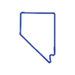
Nevada conditions
Search and browse persisted gauges, major rivers, and forecast availability.
67 gauges50 rivers
Rivers
50Indexed waterwaysState condition summary
Nevada currently has 67 persisted public gauge records and 50 indexed river records in the local D1 readback.
Open filtered mapBrowse focus
Notable gauges and major rivers below link to source-backed RiverStat.us routes.
Review source coverageNotable gauges
Open mapNo dataNothing published. Hatched, em-dash, reason line.
Latest public reading
Unavailable
No dataNothing published. Hatched, em-dash, reason line.
Latest public reading
Unavailable
No dataNothing published. Hatched, em-dash, reason line.
Forecast
Latest public reading
Unavailable
No dataNothing published. Hatched, em-dash, reason line.
Latest public reading
Unavailable
No dataNothing published. Hatched, em-dash, reason line.
Latest public reading
Unavailable
No dataNothing published. Hatched, em-dash, reason line.
Latest public reading
Unavailable
Major rivers
Source-backed records
Counts come from RiverStat.us API responses backed by D1.
Freshness shown per gauge
Each gauge card shows the latest observed and fetched time when available.
Map and list agree
State links, map rows, river cards, and gauge routes use the same IDs.